Topographic Surveying
What is Topographic Surveying?
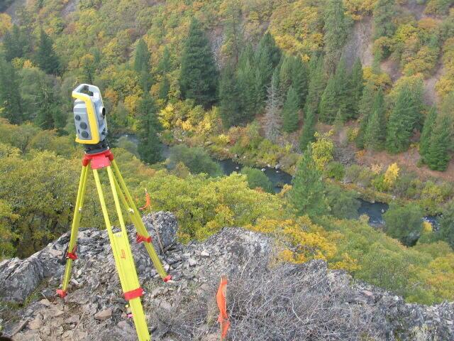
Topographical surveys map the natural and manmade features of the land. This includes elevations, ground contours, trees, buildings, streets, walkways, and utilities.
What is the importance of Topographic Surveying?
Topography surveys are vital for planning and design purposes, allowing for informed decision-making in land development, engineering design, and real estate diligence.
What is Shasta Land Surveying's Approach to Topographic Surveying?
Our team is expertly trained and has years of experience using all forms of surveying technology and techniques, allowing us to utilize the right combination to best fit your project. We have the ability to utilize Drones, LiDAR, GPS, or conventional methods to complete your project with the highest efficiency without sacrificing quality
Some of Our Other Services
Some of The Areas We Service
We actively serve all areas within the following counties:
Shasta County
Butte County
Glen County
Humboldt County
Lassen County
Modoc County
Placer County
Plumas County
Siskiyou County
*And have experience surveying in several others, including those as far south as San Diego and Fresno Counties